The Sawatch Range in Colorado is a paradise for mountaineers and hiking enthusiasts, offering a collection of fifteen majestic peaks soaring above 14,000 feet. If you're an avid adventurer seeking a thrilling challenge, conquering all fifteen of these breathtaking peaks is the ultimate accomplishment.
The Sawatch Range in Colorado is home to 15 14,000-foot peaks, making it the range with the highest number of 14ers in the state. Climbing these peaks offers an unparalleled mountaineering experience, surrounded by breathtaking vistas, diverse terrain, and a sense of accomplishment like no other. Conquering all 15 peaks presents a thrilling challenge for adventurers seeking to test their skills, endurance, and appreciation for the stunning beauty of the Colorado Rockies.
Here's an overview to guide you through the adventure of a lifetime:
Climbing Mount Princeton in the Sawatch range. Photo by Dalton Johnson
Pros
Breathtaking Scenery: Climbing the Sawatch 14ers rewards you with stunning panoramic views of the Colorado Rockies, including majestic peaks, alpine lakes, and expansive wilderness.
Personal Achievement: Conquering all 15 peaks is a significant accomplishment that showcases your physical endurance, mental resilience, and mountaineering skills.
Adventure and Challenge: Each peak offers a unique climbing experience, ranging from well-marked trails to rugged ridges, providing diverse challenges for mountaineering enthusiasts.
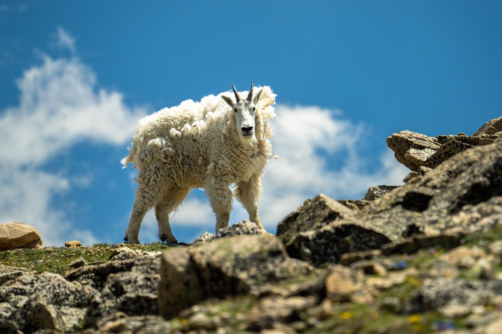
Connection with Nature: The Sawatch Range provides an opportunity to immerse yourself in nature, witnessing wildlife, alpine flora, and awe-inspiring landscapes up close.
Community and Camaraderie: Climbing these popular 14ers attracts like-minded adventurers, fostering a sense of community and camaraderie with fellow climbers on the trails.
Enhanced Physical Fitness: Training for and climbing these peaks improves cardiovascular health, stamina, and overall physical fitness.
Cons
High Altitude Challenges: The elevation of these peaks presents potential risks such as altitude sickness, dehydration, and rapidly changing weather conditions that climbers must be prepared for.
Technical Skills Required: Some routes demand technical mountaineering skills, making them unsuitable for beginners or those without proper training and experience.
Crowded Trails: Due to their popularity, some trails can get crowded, especially during peak climbing seasons, which may impact the sense of solitude and peace in nature.
Risk of Accidents: Climbing any mountain involves inherent risks, including slips, falls, and injuries, making it crucial to exercise caution and safety at all times.
Weather Uncertainty: The weather in the high-altitude Rockies can be unpredictable, with sudden storms and temperature drops, necessitating proper planning and preparation.
Environmental Impact: High foot traffic on popular routes can lead to erosion and impact delicate alpine ecosystems, emphasizing the importance of following Leave No Trace principles.
Mount Elbert - 14,440 ft (4,401 m)
Standard Route: Northeast Ridge - A well-marked trail that begins from the North Mount Elbert Trailhead, offering a gradual ascent through forests and meadows before reaching the exposed ridge leading to the summit.
Miles: Approximately 9 miles (14.5 km) round trip.
Elevation Gain: Around 4,700 feet (1,433 meters).
Trailhead: North Mount Elbert Trailhead.
Average Time: 8-12 hours.
Mount Massive - 14,421 ft (4,396 m)
Standard Route: East Slopes - Beginning from the Mount Massive Trailhead, this route takes you through alpine meadows and a well-defined trail leading to the broad summit ridge.
Miles: Approximately 14.5 miles (23.3 km) round trip.
Elevation Gain: About 4,600 feet (1,402 meters).
Trailhead: Mount Massive Trailhead.
Average Time: 8-11 hours.
Mount Harvard - 14,420 ft (4,395 m)
Standard Route: South Slopes - Starting from the North Cottonwood Creek Trailhead, this route ascends through pine forests and meadows before reaching the rocky summit slopes.
Miles: Approximately 14 miles (22.5 km) round trip.
Elevation Gain: Approximately 4,600 feet (1,402 meters).
Trailhead: North Cottonwood Creek Trailhead.
Average Time: 12-13 hours.
La Plata Peak - 14,336 ft (4,377 m)
Standard Route: Ellingwood Ridge - This challenging route starts from the La Plata Peak Trailhead and follows a steep, rocky ridge leading to the summit, offering exhilarating exposure and stunning views.
Miles: Approximately 9 miles (14.5 km) round trip.
Elevation Gain: About 4,500 feet (1,372 meters).
Trailhead: La Plata Peak Trailhead.
Average Time: 7-9 hours.
Mount Antero - 14,269 ft (4,348 m)
Standard Route: West Slopes - Beginning from the Baldwin Gulch Trailhead, this route follows an old mining road before ascending steeply up the mountain's western slopes.
Miles: Approximately 16 miles (25.7 km) round trip.
Elevation Gain: Around 5,400 feet (1,646 meters).
Trailhead: Baldwin Gulch Trailhead.
Average Time: 8-12 hours.
Mount Shavano - 14,229 ft (4,337 m)
Standard Route: East Slopes - Starting from the Shavano Trailhead, this route follows a well-marked trail up the eastern slopes of the mountain, with a final steep push to the summit.
Miles: Approximately 9 miles (14.5 km) round trip.
Elevation Gain: About 4,700 feet (1,433 meters).
Trailhead: Shavano Trailhead.
Average Time: 10-12 hours.
Tabeguache Peak - 14,155 ft (4,314 m)
Standard Route: Connecting Ridge - Tabeguache Peak is often climbed in conjunction with Mount Shavano via a connecting ridge hike, adding a little extra distance and challenge.
Miles: Approximately 12 miles (19.3 km) round trip (including both peaks).
Elevation Gain: Approximately 5,300 feet (1,615 meters).
Trailhead: Shavano Trailhead.
Average Time: 11-13 hours (including both peaks).
Mount Princeton - 14,197 ft (4,327 m)
Standard Route: East Slopes - Beginning from the Mount Princeton Trailhead, this route offers a steady climb up the eastern slopes, with sections of scree near the summit.
Miles: Approximately 6.5 miles (10.5 km) round trip.
Elevation Gain: About 3,200 feet (975 meters).
Trailhead: Mount Princeton Trailhead - From the cell towers.
Average Time: 7-8 hours.


Mount Yale - 14,196 ft (4,327 m)
Standard Route: Southwest Slopes - Starting from the Denny Creek Trailhead, this route follows a well-marked trail through forests and meadows before ascending the mountain's southwest slopes.
Miles: Approximately 9 miles (14.5 km) round trip.
Elevation Gain: Around 4,300 feet (1,311 meters).
Trailhead: Denny Creek Trailhead.
Average Time: 10-12 hours.
Mount Oxford - 14,153 ft (4,315 m)
Standard Route: Connecting Ridge - Mount Oxford is often climbed in conjunction with Mount Belford via a connecting ridge hike, adding a little extra distance and challenge.
Miles: Approximately 11 miles (17.7 km) round trip (including both peaks).
Elevation Gain: Approximately 5,300 feet (1,615 meters).
Trailhead: Missouri Gulch Trailhead (for both peaks).
Average Time: 12-15 hours (including both peaks).
Mount Belford - 14,197 ft (4,327 m)
Standard Route: Northwest Ridge - Starting from the Missouri Gulch Trailhead, this route follows a well-defined trail up the mountain's northwest ridge, offering stunning views throughout the ascent.
Miles: Approximately 9 miles (14.5 km) round trip (including both peaks).
Elevation Gain: About 4,600 feet (1,402 meters).
Trailhead: Missouri Gulch Trailhead.
Average Time: 12-15 hours.
Mount Columbia - 14,073 ft (4,289 m)
Standard Route: West Slopes - Beginning from the North Cottonwood Creek Trailhead, this route ascends the western slopes of the mountain, crossing a high alpine basin before reaching the summit ridge.
Miles: Approximately 14 miles (22.5 km) round trip.
Elevation Gain: Around 5,300 feet (1,615 meters).
Trailhead: North Cottonwood Creek Trailhead.
Average Time: 10-12 hours.
Missouri Mountain - 14,067 ft (4,287 m)
Standard Route: Northwest Ridge - Starting from the Missouri Gulch Trailhead, this route ascends through forests before reaching the exposed northwest ridge leading to the summit.
Miles: Approximately 10 miles (16.1 km) round trip.
Elevation Gain: Around 4,800 feet (1,463 meters).
Trailhead: Missouri Gulch Trailhead.
Average Time: 8-12 hours.
Mount of the Holy Cross - 14,011 ft (4,271 m)
Standard Route: North Ridge - Starting from the Halfmoon Trailhead, this route follows the well-defined North Ridge trail, offering breathtaking views and the iconic view of the "Cross Couloir" on the mountain's northeast face.
Miles: Approximately 12 miles (19.3 km) round trip.
Elevation Gain: Approximately 5,600 feet (1,707 meters).
Trailhead: Halfmoon Trailhead.
Average Time: 12-16 hours.
Mount Huron - 14,003 ft (4,268 m)
Standard Route: Northwest Slopes - Beginning from the Clear Creek Reservoir Trailhead, this route follows a well-marked trail through forests and meadows before ascending the mountain's northwest slopes.
Miles: Approximately 6.5 miles (10.5 km) round trip.
Elevation Gain: About 3,700 feet (1,128 meters).
Trailhead: Clear Creek Reservoir Trailhead.
Average Time: 8-10 hours.
Climbing finishing ridge of Missouri Mountain in the Sawatch Range. Photo by Dalton Johnson
Completing the ascent of all fifteen 14,000-foot peaks in the Sawatch Range is an extraordinary achievement. As you trek through Colorado's majestic wilderness, each peak will offer unique challenges and rewards, leaving you with memories to cherish for a lifetime. Remember to practice Leave No Trace principles and respect the natural environment as you embark on this incredible climbing journey. Happy climbing!